The Future of Komoot: Time to Look for Alternatives?
Is It Time to Move On from Komoot?
In many articles on gelberhut, I’ve mentioned Komoot—no surprise there. It’s the key tool for all my hiking activities, from planning to reliving my adventures (link to videos).
But this might have to change soon. As most of you already know, Komoot has been sold to “Bending Spoons”. The company “Bending Spoons” has a pretty consistent track record when it comes to company acquisitions. Just look at a few examples from the Wikipedia page:
- September 2022: Bending Spoons acquired FiLMiC, converted FiLMiC Pro to a subscription revenue model, the original FiLMiC team were laid off.
- November 2022: Bending Spoons acquired Evernote, all of its existing staff were laid (my note: and prices were increased drastically).
- January 2024: Bending Spoons acquired mobile app developer Mosaic Group, entire workforce of 330 staff members was laid off.
Not exactly a great trend. And I wouldn’t bet on a bright future for the Komoot team or its users either.
So, it’s time to start thinking about alternatives. At least to have a backup option. Before jumping ship, it’s important to break down how you actually use Komoot now – because switching to another tool means making sure it meets your needs.
Below is a short description of how I personally use Komoot.
Planning Hikes
- I do all my hike planning on the Komoot web app
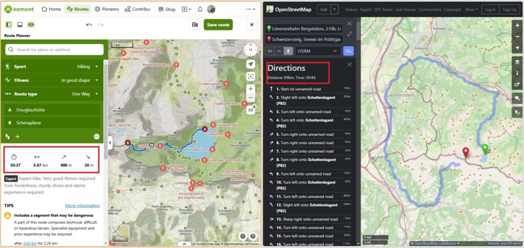
- I search for hiking routes from point A to B. “hiking” is important here, since generic maps often miss trails, especially in the mountains (see an example at the end of this article).
- I check estimated duration and elevation gain.
- I check if the route climbing sections and dangerous segments.
- I browse hiking routes in the region based on difficulty, duration, etc.
- I browse routes created/tracked by other users.
- Often, I manually modify found routes to fit my needs.
- I use photos uploaded by other hikers to better understand a trail’s real conditions.
- I store a set of planned routes for easy access during my trip.
During the Hike
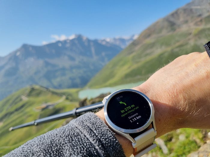
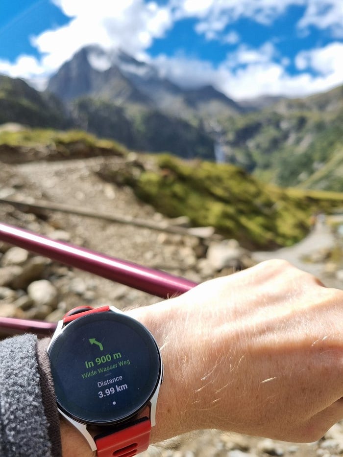
Most of my big hikes happen during vacations. I wrote few posts about this experience, for example “Hands-Free Hiking: Garmin Venu 3 and Komoot. Alps Test” and “Galaxy Watch + Komoot + Hiking: Battery Usage“
- When I arrive, I download all planned routes to my smartphone for offline use (I buy the corresponding region for this).
- Share the start point to my navigation app.
- Send the route to my Garmin watch.
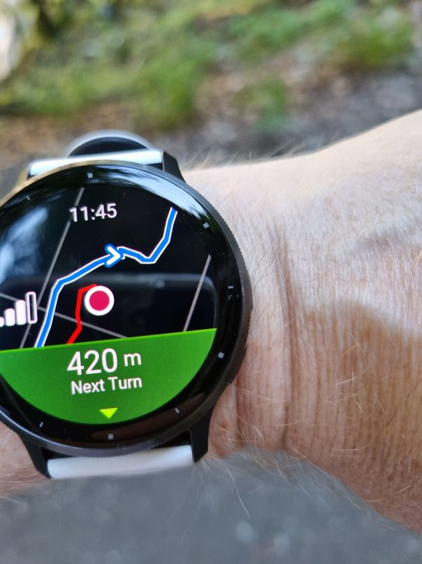
- Follow the route on my watch (without a subscription, I still get a simplified map, turn-by-turn navigation, elevation profile, and other useful data on my wrist). This is far more practical than pulling out my phone—especially when using hiking poles—and it also saves smartphone battery for photos, videos, and emergencies.
- Use Komoot on my smartphone in tricky situations for a better map view or to check the distance to the next POI.
Tracking, Reviewing, and Reusing Hikes
- Komoot is my tracking-device-agnostic place for storing completed hikes (I’ve only had my Garmin for a year, but I’ve been tracking hikes for much longer).
- I search my past hikes using filters like location, date, etc.
- I export GPX files from Komoot to create cool relive videos (check “How to Create epic 3D Flyover Videos for Hiking/Trailing/Sealing/Cycling” for details).
- I reuse previous tracks for new hikes—either as they are or with modifications.
Finding a Solid Alternative is a Challenge
The list above covers the features I rely on most. There are probably others I’ve forgotten, but even this set is already tricky enough to replace.
Just as an illustration: same start and destination, Komoot vs OSM
If you know of any service that offers a similar feature set (ideally without a subscription), please let me know!

